
马兰圩湿地公园 topographic map
Interactive map
Click on the map to display elevation.
About this map
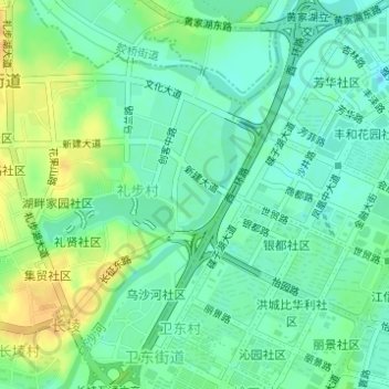
Name: 马兰圩湿地公园 topographic map, elevation, terrain.
Location: 马兰圩湿地公园, 花海社区, 长堎, 礼步村, 长堎街道, 新建区, 南昌市, 江西省, 中国 (28.69004 115.83111 28.69420 115.83417)
Average elevation: 23 m
Minimum elevation: 11 m
Maximum elevation: 42 m