
雁门关 topographic map
Interactive map
Click on the map to display elevation.
About this map
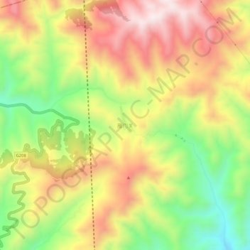
Name: 雁门关 topographic map, elevation, terrain.
Location: 雁门关, 代县, 忻州市, 山西省, 中国 (39.16868 112.84009 39.20868 112.88009)
Average elevation: 1,641 m
Minimum elevation: 1,322 m
Maximum elevation: 1,938 m
Other topographic maps
Click on a map to view its topography, its elevation and its terrain.