
苍岭镇 topographic map
Interactive map
Click on the map to display elevation.
About this map
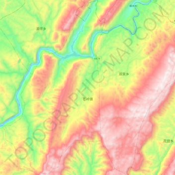
Name: 苍岭镇 topographic map, elevation, terrain.
Location: 苍岭镇, 酉阳土家族苗族自治县, 重庆市, 中国 (28.91464 108.48853 29.11363 108.62183)
Average elevation: 926 m
Minimum elevation: 309 m
Maximum elevation: 1,547 m
Other topographic maps
Click on a map to view its topography, its elevation and its terrain.