
武胜关镇 topographic map
Interactive map
Click on the map to display elevation.
About this map
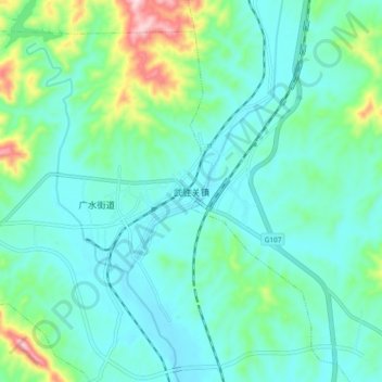
Name: 武胜关镇 topographic map, elevation, terrain.
Location: 武胜关镇, 广水, 广水市, 随州市, 湖北省, 中国 (31.58394 113.97568 31.66394 114.05568)
Average elevation: 122 m
Minimum elevation: 61 m
Maximum elevation: 360 m