
Juaraco topographic map
Interactive map
Click on the map to display elevation.
About this map
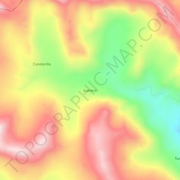
Name: Juaraco topographic map, elevation, terrain.
Location: Juaraco, Cotaruse, Aymaraes, Apurímac, Perú (-14.48419 -73.46884 -14.44419 -73.42884)
Average elevation: 4,466 m
Minimum elevation: 4,215 m
Maximum elevation: 4,664 m
Other topographic maps
Click on a map to view its topography, its elevation and its terrain.