
Antacocha topographic map
Interactive map
Click on the map to display elevation.
About this map
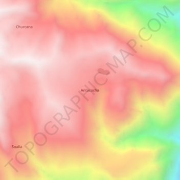
Name: Antacocha topographic map, elevation, terrain.
Location: Antacocha, Cotaruse, Provincia de Aymaraes, Apurímac, Perú (-14.45173 -73.27051 -14.41173 -73.23051)
Average elevation: 4,276 m
Minimum elevation: 3,527 m
Maximum elevation: 4,609 m