
大栗坪 topographic map
Interactive map
Click on the map to display elevation.
About this map
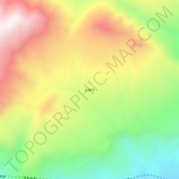
Name: 大栗坪 topographic map, elevation, terrain.
Location: 大栗坪, 鹤庆县, 大理白族自治州, 云南省, 中国 (26.08743 100.32791 26.12743 100.36791)
Average elevation: 1,909 m
Minimum elevation: 1,371 m
Maximum elevation: 2,490 m
Other topographic maps
Click on a map to view its topography, its elevation and its terrain.