
天池 topographic map
Interactive map
Click on the map to display elevation.
About this map
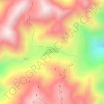
Name: 天池 topographic map, elevation, terrain.
Location: 天池, 洱源县, 鹤庆县, 大理白族自治州, 云南省, 中国 (26.25667 100.10633 26.25851 100.11120)
Average elevation: 3,610 m
Minimum elevation: 3,146 m
Maximum elevation: 3,853 m