
Lake Ambussel topographic map
Interactive map
Click on the map to display elevation.
About this map
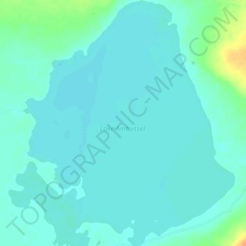
Name: Lake Ambussel topographic map, elevation, terrain.
Location: Lake Ambussel, Simanjiro, Manyara, Northern Zone, Tanzania (-3.97240 37.23786 -3.91483 37.29112)
Average elevation: 945 m
Minimum elevation: 938 m
Maximum elevation: 976 m
Other topographic maps
Click on a map to view its topography, its elevation and its terrain.