
Thank you for supporting this site ❤️
Make a donation
Make a donation
Schwertberg topographic map
Click on the map to display elevation.
Thank you for supporting this site ❤️
Make a donation
Make a donation
About this map
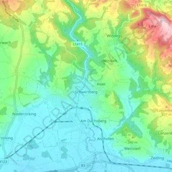
Name: Schwertberg topographic map, elevation, terrain.
Location: Schwertberg, Bezirk Perg, Upper Austria, 4311, Austria (48.24728 14.54735 48.30471 14.62218)
Average elevation: 313 m
Minimum elevation: 241 m
Maximum elevation: 511 m
Thank you for supporting this site ❤️
Make a donation
Make a donation
Other topographic maps
Click on a map to view its topography, its elevation and its terrain.