
余村 topographic map
Interactive map
Click on the map to display elevation.
About this map
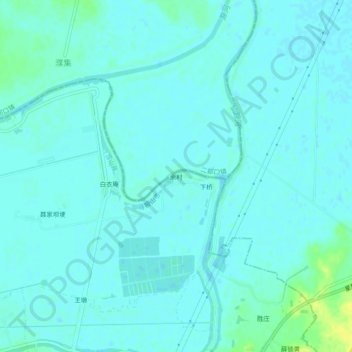
Name: 余村 topographic map, elevation, terrain.
Location: 余村, 昭关镇, 含山县, 马鞍山市, 安徽省, 238100, 中国 (31.83481 118.05192 31.87481 118.09192)
Average elevation: 12 m
Minimum elevation: 8 m
Maximum elevation: 27 m
Other topographic maps
Click on a map to view its topography, its elevation and its terrain.