
大丁 topographic map
Interactive map
Click on the map to display elevation.
About this map
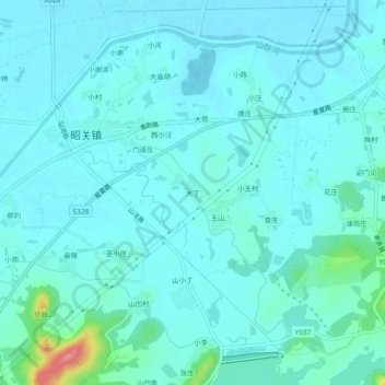
Name: 大丁 topographic map, elevation, terrain.
Location: 大丁, 昭关镇, 含山县, 马鞍山市, 安徽省, 238100, 中国 (31.79884 118.03761 31.83884 118.07761)
Average elevation: 22 m
Minimum elevation: 8 m
Maximum elevation: 116 m
Other topographic maps
Click on a map to view its topography, its elevation and its terrain.