
Rey County topographic map
Interactive map
Click on the map to display elevation.
About this map
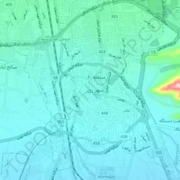
Name: Rey County topographic map, elevation, terrain.
Average elevation: 1,070 m
Minimum elevation: 1,034 m
Maximum elevation: 1,382 m
Other topographic maps
Click on a map to view its topography, its elevation and its terrain.
Rey City
Iran > Tehran Province > Rey City
Rey, Rey City, بخش مرکزی شهرستان ری, Rey County, Tehran Province, 18499, Iran
Average elevation: 1,075 m
Tochal
Tochal, رودبار قصران, Shemiranat County, Tehran Province, Iran
Average elevation: 3,562 m