
Lundbreck topographic map
Interactive map
Click on the map to display elevation.
About this map
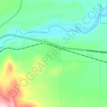
Name: Lundbreck topographic map, elevation, terrain.
Location: Lundbreck, Pincher Creek No. 9, Alberta, T0K 1H0, Canada (49.56557 -114.18333 49.60557 -114.14333)
Average elevation: 1,202 m
Minimum elevation: 1,118 m
Maximum elevation: 1,427 m