
Cercle de Bourem topographic map
Interactive map
Click on the map to display elevation.
About this map
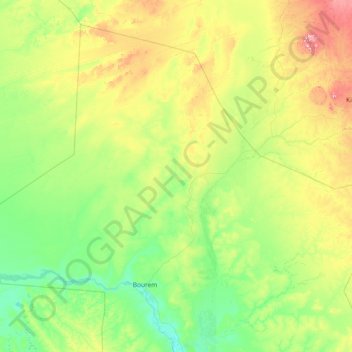
Name: Cercle de Bourem topographic map, elevation, terrain.
Location: Cercle de Bourem, Gao, Mali (16.61188 -1.70700 19.03900 1.24862)
Average elevation: 341 m
Minimum elevation: 248 m
Maximum elevation: 766 m
Other topographic maps
Click on a map to view its topography, its elevation and its terrain.