
Bourem topographic map
Interactive map
Click on the map to display elevation.
About this map
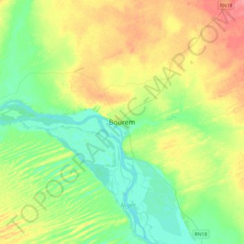
Name: Bourem topographic map, elevation, terrain.
Location: Bourem, Cercle de Bourem, Gao, Mali (16.79753 -0.50680 17.11753 -0.18680)
Average elevation: 274 m
Minimum elevation: 249 m
Maximum elevation: 316 m