
坎布拉镇 topographic map
Interactive map
Click on the map to display elevation.
About this map
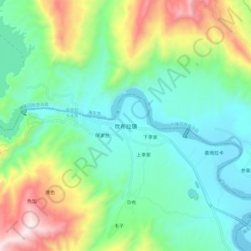
Name: 坎布拉镇 topographic map, elevation, terrain.
Location: 坎布拉镇, 尖扎县, 黄南藏族自治州, 青海省, 811200, 中国 (36.07371 101.80911 36.15371 101.88911)
Average elevation: 2,297 m
Minimum elevation: 2,028 m
Maximum elevation: 2,950 m
Other topographic maps
Click on a map to view its topography, its elevation and its terrain.