
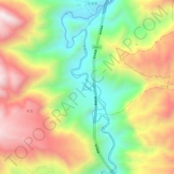
隆务河 topographic map
Interactive map
Click on the map to display elevation.
About this map
Name: 隆务河 topographic map, elevation, terrain.
Location: 隆务河, 尖扎县, 黄南藏族自治州, 青海省, 中国 (35.71128 102.04342 35.75833 102.06145)
Average elevation: 2,608 m
Minimum elevation: 2,094 m
Maximum elevation: 3,189 m
Other topographic maps
Click on a map to view its topography, its elevation and its terrain.