
亚丁乡 topographic map
Interactive map
Click on the map to display elevation.
About this map
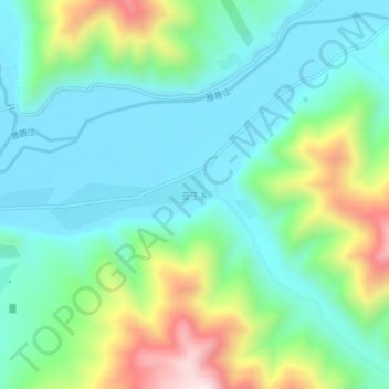
Name: 亚丁乡 topographic map, elevation, terrain.
Location: 亚丁乡, 德格县, 甘孜藏族自治州, 四川省, 中国 (32.38737 99.02542 32.42737 99.06542)
Average elevation: 3,883 m
Minimum elevation: 3,710 m
Maximum elevation: 4,341 m
Other topographic maps
Click on a map to view its topography, its elevation and its terrain.