
涧沟村 topographic map
Interactive map
Click on the map to display elevation.
About this map
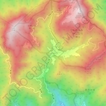
Name: 涧沟村 topographic map, elevation, terrain.
Location: 涧沟村, 门头沟区, 北京市, 中国 (40.04320 116.01329 40.08320 116.05329)
Average elevation: 921 m
Minimum elevation: 428 m
Maximum elevation: 1,278 m
Other topographic maps
Click on a map to view its topography, its elevation and its terrain.