
碣石岭 topographic map
Interactive map
Click on the map to display elevation.
About this map
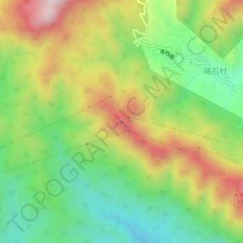
Name: 碣石岭 topographic map, elevation, terrain.
Location: 碣石岭, 门头沟区, 北京市, 中国 (40.03402 115.73943 40.03412 115.73953)
Average elevation: 694 m
Minimum elevation: 467 m
Maximum elevation: 999 m
Other topographic maps
Click on a map to view its topography, its elevation and its terrain.