
平安镇 topographic map
Interactive map
Click on the map to display elevation.
About this map
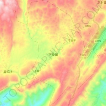
Name: 平安镇 topographic map, elevation, terrain.
Location: 平安镇, 彭水苗族土家族自治县, 重庆市, 中国 (29.40573 108.10796 29.53359 108.20812)
Average elevation: 894 m
Minimum elevation: 255 m
Maximum elevation: 1,504 m
Other topographic maps
Click on a map to view its topography, its elevation and its terrain.