
Thank you for supporting this site ❤️
Make a donation
Make a donation
Rantoul topographic map
Click on the map to display elevation.
Thank you for supporting this site ❤️
Make a donation
Make a donation
About this map
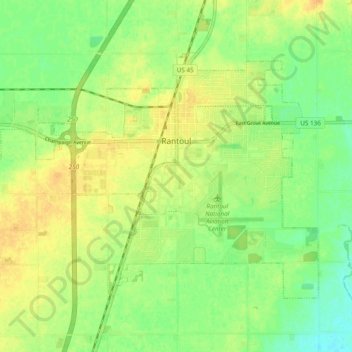
Name: Rantoul topographic map, elevation, terrain.
Location: Rantoul, Champaign County, Illinois, 61866, United States (40.27539 -88.21299 40.32674 -88.11706)
Average elevation: 225 m
Minimum elevation: 211 m
Maximum elevation: 236 m
Thank you for supporting this site ❤️
Make a donation
Make a donation