
Guelb Bou Demje topographic map
Interactive map
Click on the map to display elevation.
About this map
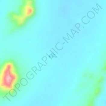
Name: Guelb Bou Demje topographic map, elevation, terrain.
Location: Guelb Bou Demje, Adrar, Mauritania (19.43328 -13.40005 19.43338 -13.39995)
Average elevation: 156 m
Minimum elevation: 132 m
Maximum elevation: 295 m
Other topographic maps
Click on a map to view its topography, its elevation and its terrain.