
东澳镇 topographic map
Interactive map
Click on the map to display elevation.
About this map
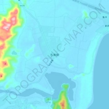
Name: 东澳镇 topographic map, elevation, terrain.
Location: 东澳镇, 万宁市, 海南省, 中国 (18.67686 110.35906 18.75686 110.43906)
Average elevation: 21 m
Minimum elevation: -8 m
Maximum elevation: 285 m
Other topographic maps
Click on a map to view its topography, its elevation and its terrain.