
景田村 topographic map
Interactive map
Click on the map to display elevation.
About this map
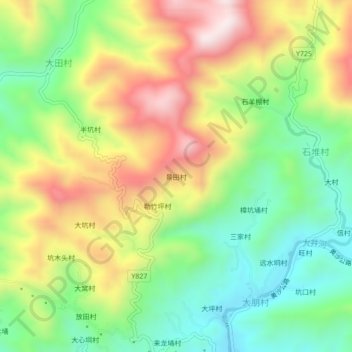
Name: 景田村 topographic map, elevation, terrain.
Location: 景田村, 高州市, 茂名市, 广东省, 中国 (22.16013 111.15908 22.20013 111.19908)
Average elevation: 459 m
Minimum elevation: 204 m
Maximum elevation: 801 m
Other topographic maps
Click on a map to view its topography, its elevation and its terrain.