
镇头岭 topographic map
Interactive map
Click on the map to display elevation.
About this map
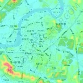
Name: 镇头岭 topographic map, elevation, terrain.
Location: 镇头岭, 高州市, 茂名市, 广东省, 525200, 中国 (21.89619 110.83481 21.93619 110.87481)
Average elevation: 49 m
Minimum elevation: 22 m
Maximum elevation: 144 m
Other topographic maps
Click on a map to view its topography, its elevation and its terrain.