
和屯 topographic map
Interactive map
Click on the map to display elevation.
About this map
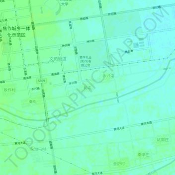
Name: 和屯 topographic map, elevation, terrain.
Location: 和屯, 山阳区, 焦作市, 河南省, 454000, 中国 (35.14881 113.24651 35.18881 113.28651)
Average elevation: 94 m
Minimum elevation: 89 m
Maximum elevation: 98 m
Other topographic maps
Click on a map to view its topography, its elevation and its terrain.