
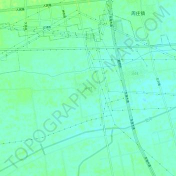
孙村 topographic map
Interactive map
Click on the map to display elevation.
About this map
Name: 孙村 topographic map, elevation, terrain.
Location: 孙村, 山阳区, 焦作市, 河南省, 454000, 中国 (35.18330 113.32007 35.22330 113.36007)
Average elevation: 89 m
Minimum elevation: 84 m
Maximum elevation: 94 m
Other topographic maps
Click on a map to view its topography, its elevation and its terrain.