
书洋镇 topographic map
Interactive map
Click on the map to display elevation.
About this map
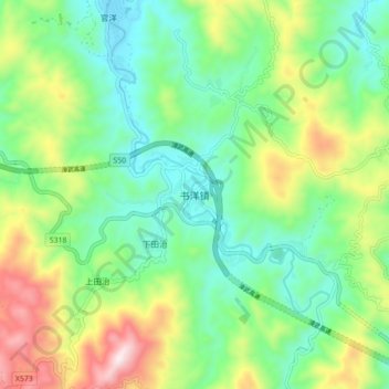
Name: 书洋镇 topographic map, elevation, terrain.
Location: 书洋镇, 南靖县, 漳州市, 福建省, 中国 (24.58817 117.06816 24.66817 117.14816)
Average elevation: 669 m
Minimum elevation: 439 m
Maximum elevation: 1,145 m
Other topographic maps
Click on a map to view its topography, its elevation and its terrain.