
南一水库 topographic map
Interactive map
Click on the map to display elevation.
About this map
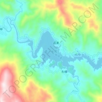
Name: 南一水库 topographic map, elevation, terrain.
Location: 南一水库, 店美, 南靖县, 福建省, 中国 (24.71412 117.11344 24.74525 117.17904)
Average elevation: 482 m
Minimum elevation: 277 m
Maximum elevation: 1,000 m