
丰良镇 topographic map
Interactive map
Click on the map to display elevation.
About this map
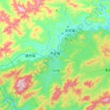
Name: 丰良镇 topographic map, elevation, terrain.
Location: 丰良镇, 丰顺县, 梅州市, 广东省, 中国 (23.84052 116.08244 24.05563 116.32567)
Average elevation: 357 m
Minimum elevation: 47 m
Maximum elevation: 1,033 m
Other topographic maps
Click on a map to view its topography, its elevation and its terrain.