
茗山村 topographic map
Interactive map
Click on the map to display elevation.
About this map
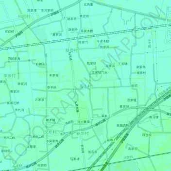
Name: 茗山村 topographic map, elevation, terrain.
Location: 茗山村, 嘉兴市, 浙江省, 中国 (30.45092 120.37758 30.49092 120.41758)
Average elevation: 6 m
Minimum elevation: 2 m
Maximum elevation: 8 m
Other topographic maps
Click on a map to view its topography, its elevation and its terrain.