
海盐县 topographic map
Interactive map
Click on the map to display elevation.
About this map
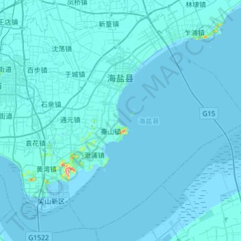
Name: 海盐县 topographic map, elevation, terrain.
Location: 海盐县, 嘉兴市, 浙江省, 中国 (30.26469 120.71598 30.64135 121.19938)
Average elevation: 3 m
Minimum elevation: -5 m
Maximum elevation: 234 m
全县海拔平均在3~4米之间,陆地总面积534.73平方公里(其中内水面积为96.26平方公里)。
Other topographic maps
Click on a map to view its topography, its elevation and its terrain.