
Idaho topographic map
Interactive map
Click on the map to display elevation.
About this map
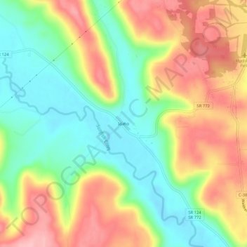
Name: Idaho topographic map, elevation, terrain.
Location: Idaho, Pike County, Ohio, United States (39.06812 -83.16185 39.10812 -83.12185)
Average elevation: 238 m
Minimum elevation: 170 m
Maximum elevation: 316 m
Other topographic maps
Click on a map to view its topography, its elevation and its terrain.
Waverly
United States > Ohio > Pike County
Waverly, Pee Pee Township, Pike County, Ohio, United States
Average elevation: 192 m
Campbell Hill
United States > Ohio > Pike County
Campbell Hill, Pike County, Ohio, United States
Average elevation: 248 m