
Tamar Regional Council topographic map
Interactive map
Click on the map to display elevation.
About this map
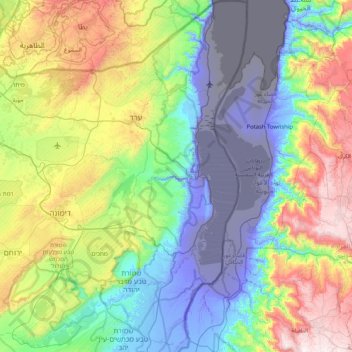
Name: Tamar Regional Council topographic map, elevation, terrain.
Location: Tamar Regional Council, Beersheba Subdistrict, Israel (30.78827 34.94979 31.49665 35.47601)
Average elevation: 272 m
Minimum elevation: -415 m
Maximum elevation: 1,369 m
Other topographic maps
Click on a map to view its topography, its elevation and its terrain.