
下罗村 topographic map
Interactive map
Click on the map to display elevation.
About this map
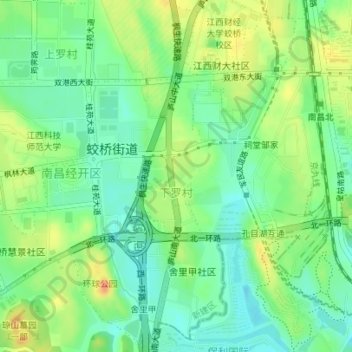
Name: 下罗村 topographic map, elevation, terrain.
Location: 下罗村, 蛟桥街道, 南昌经开区, 南昌市, 江西省, 中国 (28.72292 115.82637 28.75243 115.86120)
Average elevation: 32 m
Minimum elevation: 14 m
Maximum elevation: 58 m
Other topographic maps
Click on a map to view its topography, its elevation and its terrain.