
巴彦呼舒镇 topographic map
Interactive map
Click on the map to display elevation.
About this map
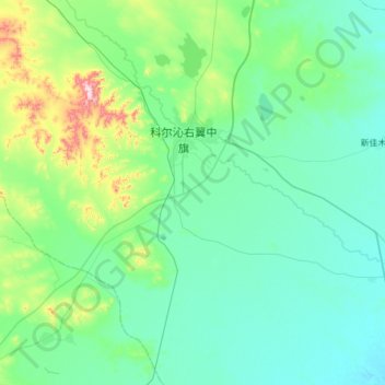
Name: 巴彦呼舒镇 topographic map, elevation, terrain.
Location: 巴彦呼舒镇, 科尔沁右翼中旗, 兴安盟, 内蒙古自治区, 中国 (44.80679 121.02515 45.16192 121.63910)
Average elevation: 271 m
Minimum elevation: 195 m
Maximum elevation: 708 m
Other topographic maps
Click on a map to view its topography, its elevation and its terrain.