
科尔沁右翼中旗 topographic map
Interactive map
Click on the map to display elevation.
About this map
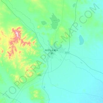
Name: 科尔沁右翼中旗 topographic map, elevation, terrain.
Location: 科尔沁右翼中旗, 巴彦呼舒镇, 科尔沁右翼中旗, 兴安盟, 内蒙古自治区, 中国 (44.88464 121.29599 45.20464 121.61599)
Average elevation: 286 m
Minimum elevation: 211 m
Maximum elevation: 712 m
Other topographic maps
Click on a map to view its topography, its elevation and its terrain.