
坦山怀 topographic map
Interactive map
Click on the map to display elevation.
About this map
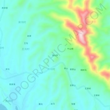
Name: 坦山怀 topographic map, elevation, terrain.
Location: 坦山怀, 淅川县, 南阳市, 河南省, 中国 (32.99640 111.39039 33.03640 111.43039)
Average elevation: 245 m
Minimum elevation: 153 m
Maximum elevation: 544 m
Other topographic maps
Click on a map to view its topography, its elevation and its terrain.