
武家沟 topographic map
Interactive map
Click on the map to display elevation.
About this map
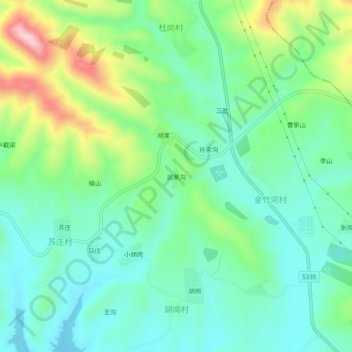
Name: 武家沟 topographic map, elevation, terrain.
Location: 武家沟, 淅川县, 南阳市, 河南省, 中国 (32.83998 111.60443 32.87998 111.64443)
Average elevation: 237 m
Minimum elevation: 153 m
Maximum elevation: 442 m
Other topographic maps
Click on a map to view its topography, its elevation and its terrain.