
八里店镇 topographic map
Interactive map
Click on the map to display elevation.
About this map
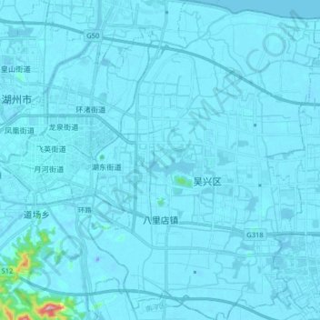
Name: 八里店镇 topographic map, elevation, terrain.
Location: 八里店镇, 吴兴区, 湖州市, 浙江省, 中国 (30.79880 120.12087 30.93666 120.23820)
Average elevation: 7 m
Minimum elevation: -28 m
Maximum elevation: 278 m
Other topographic maps
Click on a map to view its topography, its elevation and its terrain.