
湖州梁希森林公园 topographic map
Interactive map
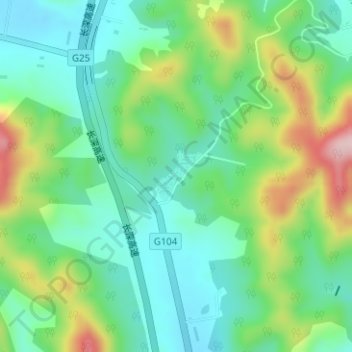
Click on the map to display elevation.
About this map
Name: 湖州梁希森林公园 topographic map, elevation, terrain.
Location: 湖州梁希森林公园, 吴兴区, 湖州市, 浙江省, 中国 (30.79239 120.06938 30.79621 120.07344)
Average elevation: 82 m
Minimum elevation: 4 m
Maximum elevation: 250 m
Other topographic maps
Click on a map to view its topography, its elevation and its terrain.