
康布乡 topographic map
Interactive map
Click on the map to display elevation.
About this map
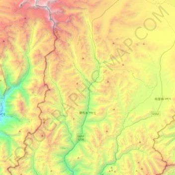
Name: 康布乡 topographic map, elevation, terrain.
Location: 康布乡, 亚东县, 日喀则市, 西藏自治区, 中国 (27.55329 88.83606 27.94122 89.06526)
Average elevation: 4,632 m
Minimum elevation: 2,754 m
Maximum elevation: 7,005 m
Other topographic maps
Click on a map to view its topography, its elevation and its terrain.