
德阳 topographic map
Interactive map
Click on the map to display elevation.
About this map
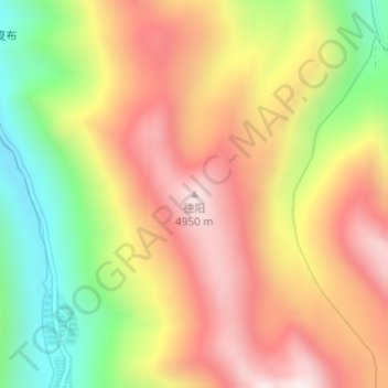
Name: 德阳 topographic map, elevation, terrain.
Location: 德阳, 帕里镇, 亚东县, 日喀则市, 西藏自治区, 中国 (27.58168 89.09202 27.58178 89.09212)
Average elevation: 4,638 m
Minimum elevation: 4,243 m
Maximum elevation: 4,973 m
德阳地形西高东低,西北部为山地,中部为平原,东南部为丘陵,属亚热带季风气候,四季分明,雨量充沛,年降雨量1000毫米左右,平均气温15.7-16.7℃。
Other topographic maps
Click on a map to view its topography, its elevation and its terrain.