
Goldbach topographic map
Interactive map
Click on the map to display elevation.
About this map
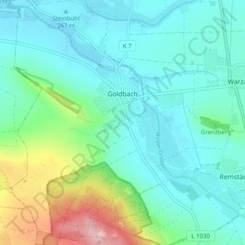
Name: Goldbach topographic map, elevation, terrain.
Location: Goldbach, Nessetal, Landkreis Gotha, Thüringen, Deutschland (50.96677 10.62618 51.01018 10.67774)
Average elevation: 300 m
Minimum elevation: 259 m
Maximum elevation: 442 m
Other topographic maps
Click on a map to view its topography, its elevation and its terrain.
Hochheim
Deutschland > Thüringen > Landkreis Gotha > Nessetal
Hochheim, Nessetal, Landkreis Gotha, Thüringen, Deutschland
Average elevation: 299 m
Ballstädt
Deutschland > Thüringen > Landkreis Gotha > Nessetal
Ballstädt, Nessetal, Landkreis Gotha, Thüringen, Deutschland
Average elevation: 287 m
Wangenheim
Deutschland > Thüringen > Landkreis Gotha > Nessetal
Wangenheim, Nessetal, Landkreis Gotha, Thüringen, Deutschland
Average elevation: 299 m