
南口 topographic map
Interactive map
Click on the map to display elevation.
About this map
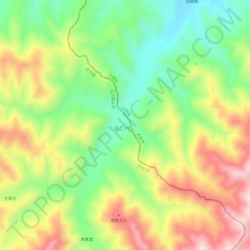
Name: 南口 topographic map, elevation, terrain.
Location: 南口, 兴和县, 乌兰察布市, 内蒙古自治区, 中国 (40.57544 114.02634 40.61544 114.06634)
Average elevation: 1,409 m
Minimum elevation: 1,212 m
Maximum elevation: 1,652 m
Other topographic maps
Click on a map to view its topography, its elevation and its terrain.