
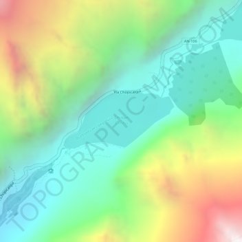
Laguna de Llanganuco Chinancocha topographic map
Interactive map
Click on the map to display elevation.
Laguna de Llanganuco Chinancocha
El agua de estas lagunas es de color turquesa. Crece una variada y abundante biodiversidad a su alrededor. Ambas lagunas retienen, de paso, las aguas que bajan del portachuelo de Atojshaico y desaguan en río que desciende hasta Yungay y avena en el río Santa. La segunda laguna se encuentra a mayor altitud y sus aguas penetran al vaso de la primera simbolizando un apareamiento. Por ello los nombres de laguna 'macho' y de laguna 'hembra'. Las paredes de roca que las flanquean, con más de 400 metros de desnivel, son apropiadas para salto BASE y escalada de grandes paredes.
About this map
Name: Laguna de Llanganuco Chinancocha topographic map, elevation, terrain.
Location: Laguna de Llanganuco Chinancocha, Yungay, Áncash, Perú (-9.07821 -77.65141 -9.07180 -77.63894)
Average elevation: 4,213 m
Minimum elevation: 3,675 m
Maximum elevation: 5,141 m
Other topographic maps
Click on a map to view its topography, its elevation and its terrain.