
目巴村 topographic map
Interactive map
Click on the map to display elevation.
About this map
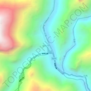
Name: 目巴村 topographic map, elevation, terrain.
Location: 目巴村, 察隅县, 林芝市, 西藏自治区, 中国 (28.58873 98.33693 28.62873 98.37693)
Average elevation: 2,390 m
Minimum elevation: 1,853 m
Maximum elevation: 3,532 m
Other topographic maps
Click on a map to view its topography, its elevation and its terrain.