
长街镇 topographic map
Interactive map
Click on the map to display elevation.
About this map
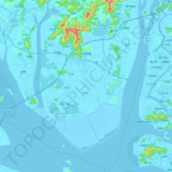
Name: 长街镇 topographic map, elevation, terrain.
Location: 长街镇, 宁海县, 宁波市, 浙江省, 中国 (29.10743 121.64159 29.31416 121.81692)
Average elevation: 13 m
Minimum elevation: -3 m
Maximum elevation: 358 m
Other topographic maps
Click on a map to view its topography, its elevation and its terrain.